Kodiak Orthoimagery Mosaic
Public USGS aerial imagery of the Kodiak Archipelago, mosaicked into PMTiles archives and served as free map tiles.
Samples
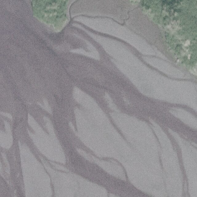
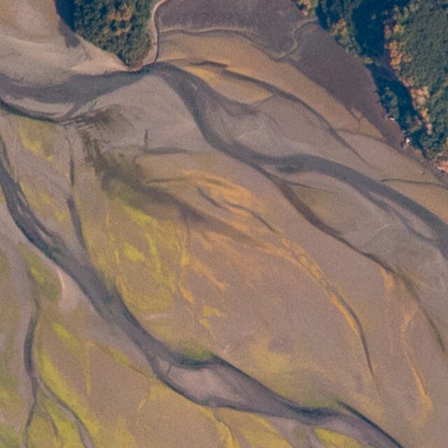
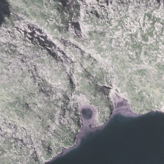
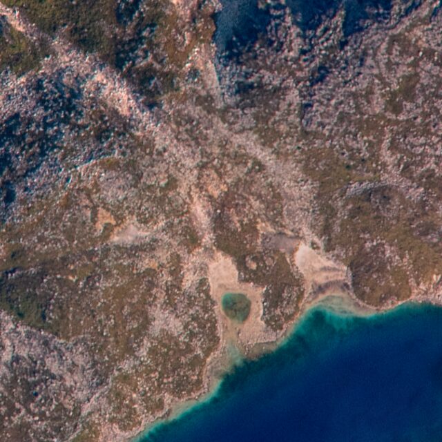
The same spots in both layers at full resolution (zoom 16), straight from the tile server.
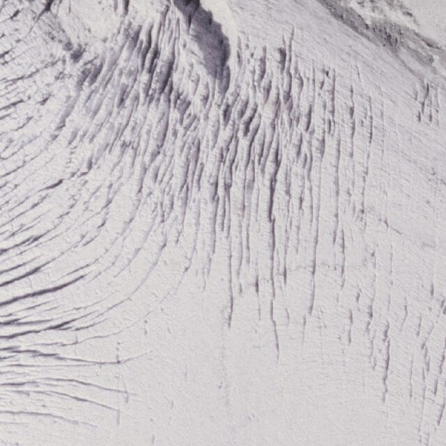
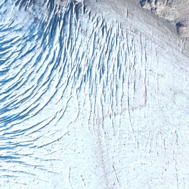
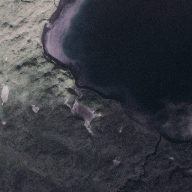
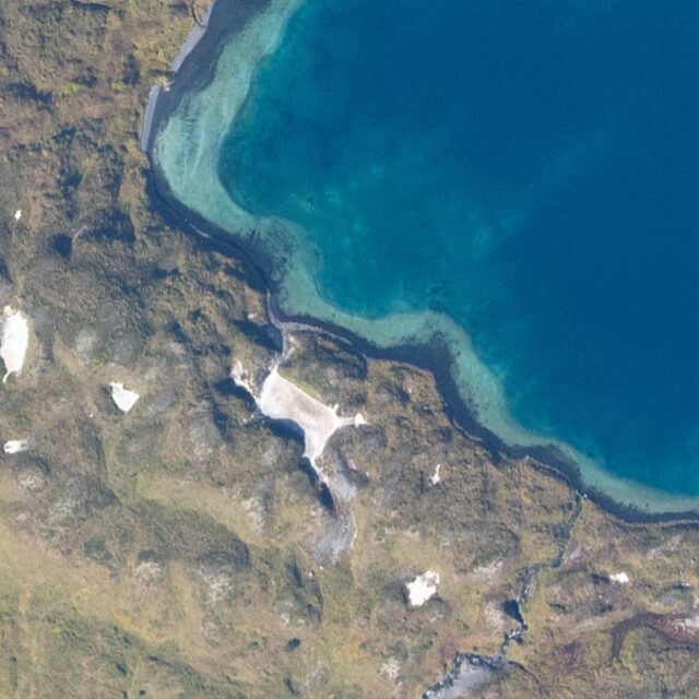
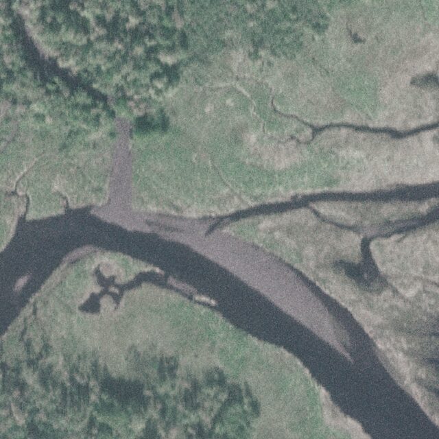
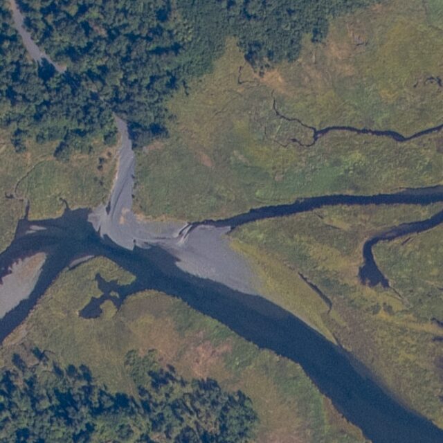
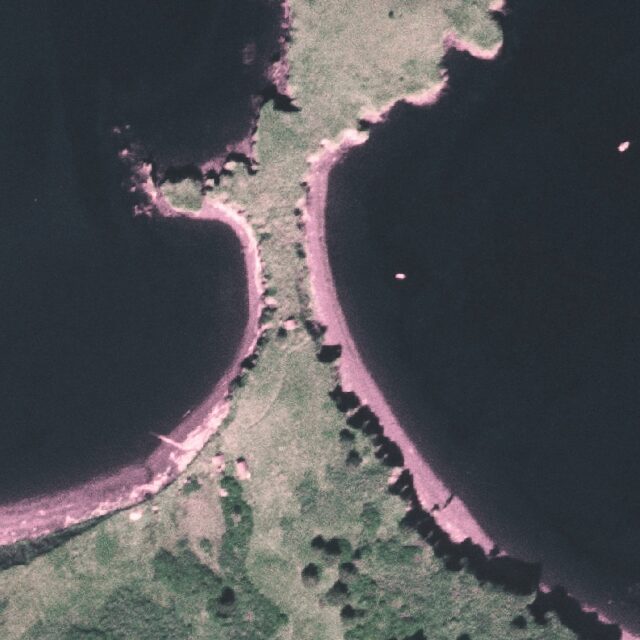
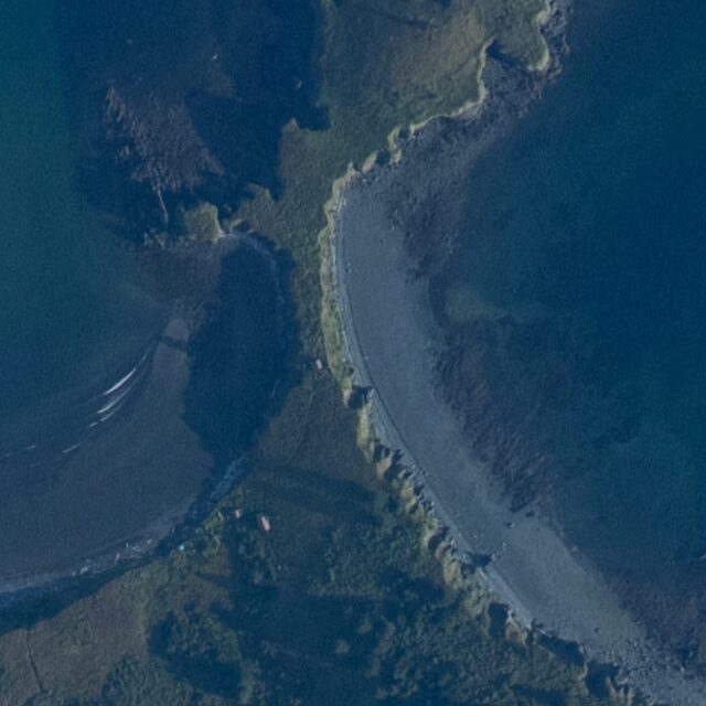
Map
Using the tiles
The imagery source is public-domain USGS High Resolution Orthoimagery, flown by USDA-FSA (2004-2011) and the U.S. Fish and Wildlife Service (2019). I stitch the source files into two seamless mosaics and reproject them into 512-pixel web map tiles (zoom levels 5-16 for 2004-2011, 6-16 for 2019). They’re free to use in any web map, QGIS or mapping app. Please keep the attribution that comes with the TileJSON and WMTS metadata. If you expect to use them at high volume, please Email me first to avoid service interruptions.
Each mosaic is a single PMTiles archive: one cloud-optimized file that holds every tile and an index to find them. The archives sit in Cloudflare R2, and a Cloudflare Worker reads each tile straight out of them with a byte-range request, with no tile server process or database behind it.
- 2004-2011 (USDA-FSA), the whole archipelago: TileJSON · WMTS
- 2019 (USFWS), Kodiak National Wildlife Refuge: TileJSON · WMTS
XYZ tile URL template, with hro or nwrhro:
https://tileserver.dummthings.dev/kodiak/hro/tiles/WebMercatorQuad/{z}/{x}/{y}.png
Need imagery of somewhere else, or a layer built from your own data? Email me.